Brian Gass, the founder and owner of Gass Geoservices LLC, is a seasoned professional with a passion for GIS (Geographic Information System) and drone technology. With a background in geography and a deep understanding of spatial data analysis, Brian recognized the immense potential of integrating drones and GIS to revolutionize industries.
Gass Geoservices LLC
Creative solutions, creative results.
ABOUT
At Gass Geoservices LLC, we specialize in providing cutting-edge GIS (Geographic Information Systems) and drone services to individuals, businesses, and organizations across various industries. Our comprehensive suite of solutions leverages the power of spatial data analysis and aerial technology to drive informed decision-making, streamline operations, and enhance overall efficiency.
Photo: ESRI Drone2Map
https://www.esri.com/en-us/arcgis/products/arcgis-drone2map/overview
Photo: ESRI Drone2Map
https://www.esri.com/en-us/arcgis/products/arcgis-drone2map/overview
Services
DRAFTING AND DESIGN
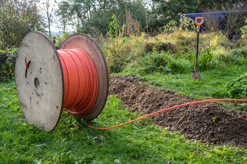
We specialize in high-quality fiber optic network design, drafting, and GIS mapping services tailored for telecom providers, engineering firms, and construction contractors.
Learn More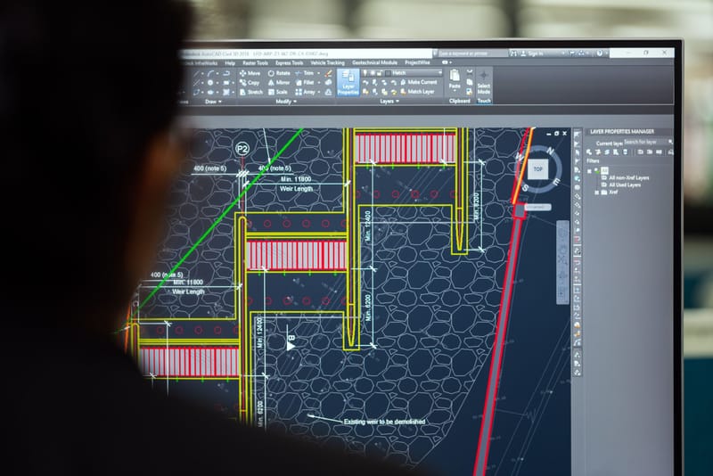
SPATIAL DATA SERVICES (GIS)
Unlock the power of spatial data with mapping & analysis. Get insights & unlock hidden relationships to make informed decisions.
Learn More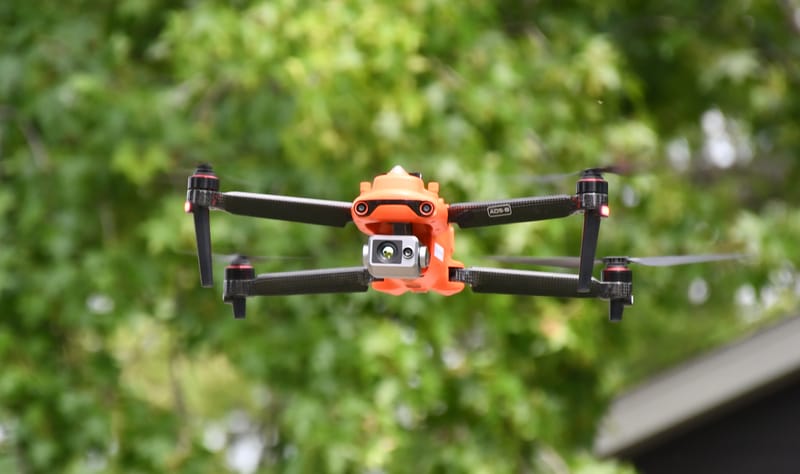
DRONE SERVICES
Professional aerial solutions for residents and businesses. Enhance projects with stunning aerial views & save time & money on the job.
Learn More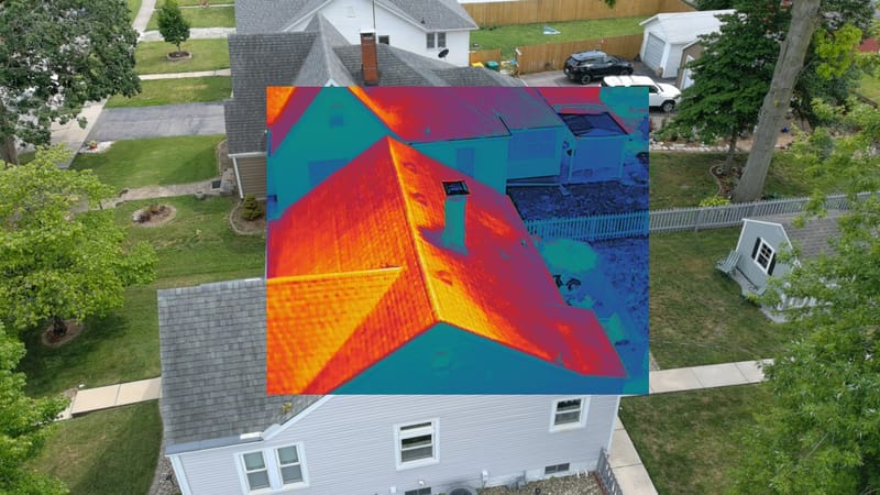
THERMAL DRONE SERVICES
Aerial thermal imaging for safety & efficiency, quickly identifying problems & solutions to save time & money.
Learn MoreContact
- Breese, Illinois, United States
- +1-6185609850 - Brian Gass - Owner
- bgass@gassgeo.com
- M-F: 4pm-9pm Weekends: 10am-6pm
Team
Brian Gass
Owner