DRONE SERVICES

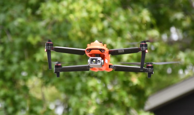
Gass Geoservices LLC offers professional drone services for a wide range of industries and applications. We leverage the power of unmanned aerial vehicles (UAVs) to provide high-quality aerial photography, videography, mapping, inspections, and more. Our team of skilled pilots and experienced photographers utilizes state-of-the-art drones and advanced imaging technology to capture stunning visuals, gather valuable data, and deliver actionable insights to our clients. With a focus on safety, efficiency, and innovation, we are dedicated to meeting the unique needs of each project and delivering exceptional results.

Real Estate Photography: Drones equipped with high-resolution cameras offer a unique perspective for capturing aerial images and videos of residential and commercial properties. These visuals can showcase the property's location, size, and surrounding amenities, providing a comprehensive view for potential buyers or renters.
Aerial Videography: Drones are widely used for capturing stunning aerial videos for various purposes, including cinematography, documentaries, events, and promotional materials. The ability to capture dynamic shots from different altitudes and angles adds a captivating element to video productions.
Landscape and Travel Photography: Drones enable photographers to capture breathtaking aerial images of landscapes, natural landmarks, and tourist destinations. These aerial perspectives offer a fresh and immersive view, allowing photographers to showcase the grandeur and beauty of different locations.
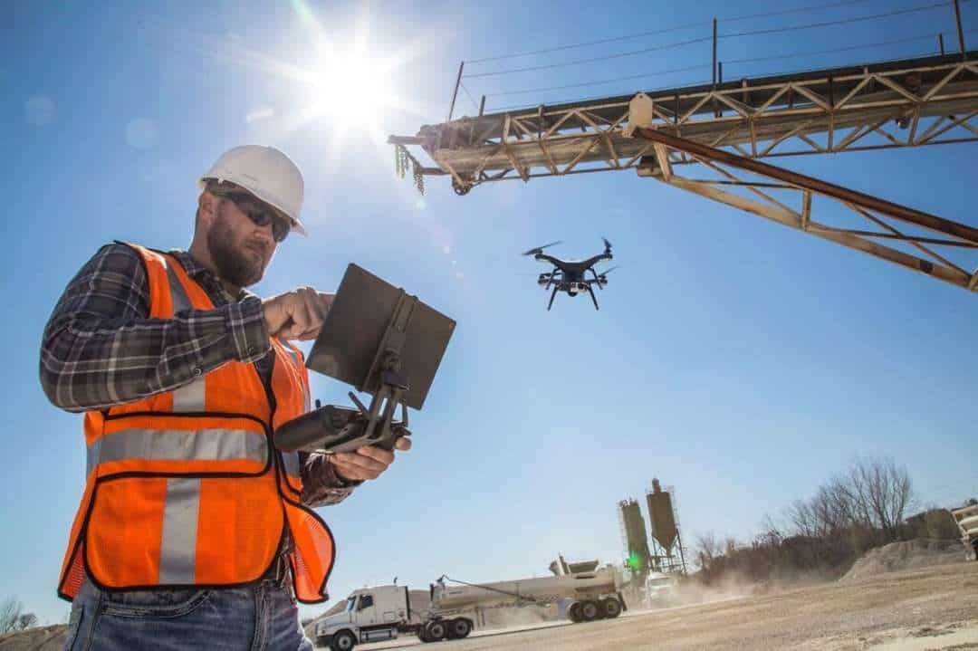
Construction and Infrastructure Photography: Drones provide an efficient and cost-effective solution for capturing aerial images and videos of construction sites, infrastructure projects, and engineering works. These visuals assist project managers, contractors, and stakeholders in monitoring progress, documenting milestones, and conducting inspections.
Event Photography: Drones can capture unique aerial perspectives of events such as weddings, concerts, sports competitions, and festivals. This allows photographers to capture the scale, atmosphere, and excitement of the event from a bird's-eye view.
Architectural Photography: Drones offer the ability to capture striking aerial images of architectural structures, including buildings, bridges, and landmarks. These images can highlight the design, scale, and intricate details of the structures from a vantage point that is otherwise difficult to achieve.
Environmental and Conservation Photography: Drones play a crucial role in documenting and monitoring environmental changes, wildlife habitats, and conservation efforts. Aerial photography provides a comprehensive view of ecosystems, enabling researchers and conservationists to study and protect fragile environments.
Surveying and Mapping: Drones equipped with specialized cameras and software can be used for aerial surveying and mapping purposes. These services assist industries such as construction, land development, agriculture, and urban planning by providing accurate aerial imagery, topographic maps, and 3D models.
Sports Photography: Drones are utilized in capturing action shots and aerial views of sports events. They can follow athletes, track races, and provide unique angles that enhance the viewer's experience and offer a comprehensive visual narrative of the sporting event.
Inspections and Asset Management: Drones equipped with cameras and sensors are employed for inspections and asset management purposes in industries such as energy, infrastructure, and utilities. They enable close-up inspections of tall structures, pipelines, power lines, and other hard-to-reach assets, reducing the need for costly manual inspections.
These are just a few examples of the diverse range of drone photography services available. Drones provide a versatile and innovative platform for capturing captivating aerial imagery and videos across various industries and creative disciplines.


